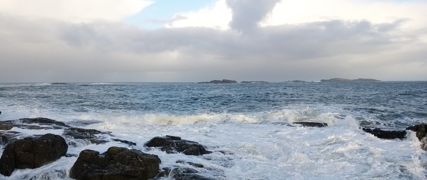

A new map of coastal risk in Ireland should be of immediate interest in Northern Ireland. Not because it tells us precisely what will happen at every harbour, beach or coastal road, but because it shows what rational preparation looks like: assemble the evidence, identify the places most exposed and decide what should be protected before the next storm makes the decision for us.
The research, published on 4 September 2026 and led by University College Cork, created a national Coastal Exposure Index for the Republic of Ireland. Around 8,575 kilometres of coastline were assessed at 250-metre intervals. The researchers combined thirty years of wind and wave records with sea-level rise, storm surge, shoreline type, coastal relief and the presence of habitats such as dunes, saltmarsh, machair and seagrass.
The results are striking. The west coast contains the greatest stretches of very high exposure, but significant risks also appear on the east coast. More than 20,000 people in Dublin and almost 10,000 in Galway City live within 500 metres of coastline classed as very highly exposed. One in five of the 8,871 recorded cultural heritage sites close to the coast lies in the same category.
There is an important qualification. This is a screening tool measuring relative exposure, not a prediction that a particular house will flood or a particular road will disappear. It does not replace detailed local flood and erosion modelling. Its value is strategic: it allows government to compare places consistently and identify where more detailed work and public investment should begin.
Northern Ireland has maps, but not a complete coastal policy
Northern Ireland is not starting from nothing. The Department for Infrastructure’s Flood Maps (NI) include present-day and climate-change scenarios for coastal flooding. Detailed surge modelling has been undertaken for Belfast Lough, Carlingford Lough and Lough Foyle. These are useful tools, particularly for planning and flood-risk management.
But flooding and coastal erosion are not the same problem. Flood maps show where water may spread during an event; erosion concerns the longer-term movement and loss of the shoreline itself. In an Assembly answer in October 2024, the then DAERA Minister stated plainly that no department was responsible for coastal erosion risk management and that shoreline management plans were therefore not part of the policy framework.
The position had not been resolved by March 2026. The Infrastructure Minister said the Coastal Forum was gathering scientific data to establish a baseline and preparing recommendations for a 2026–2032 work programme. At the same time, departmental responsibilities remained limited: DfI maintained 110 kilometres of defences protecting coastal roads, 26 kilometres of coastal sea defences and two tidal barriers, while Translink maintained about 34 kilometres of railway sea defences.
That is a description of assets and responsibilities, not yet a coherent policy for a changing coastline. The distinction matters. A wall protecting a road may alter erosion further along the shore. Defending every location indefinitely will not be technically or financially possible. Some places will require hard defences; some may be better protected by restoring dunes or saltmarsh; and some difficult decisions may eventually involve relocation or managed realignment.
Natural defences are infrastructure
The most useful finding from the UCC study may be that natural habitats potentially reduce exposure along 38 per cent of the coastline assessed. Without that protective effect, the number of very highly exposed heritage sites would rise by an estimated 18 per cent. This does not mean a saltmarsh can replace every sea wall. It means that dunes, wetlands and seagrass should be treated as working infrastructure rather than spare land awaiting development.
That lesson is directly relevant to Northern Ireland, from Belfast Lough and the Ards Peninsula to the north coast and the low-lying shores of Lough Foyle. Planning decisions, harbour investment, road and rail maintenance, habitat protection and emergency planning all interact at the coast. Yet they sit across different bodies with different budgets and statutory duties.
The Climate Change Committee’s May 2026 assessment concluded that the UK was built for a climate which no longer exists and should, at a minimum, prepare for the extremes associated with two degrees of global warming by 2050. Northern Ireland’s third Climate Change Adaptation Programme acknowledges coastal erosion, flooding and severe storms. A programme, however, is only as useful as the measurable decisions it produces.
The immediate task should be practical. The Executive should commission a Northern Ireland Coastal Exposure Index compatible with the new UCC work, bringing together flood and erosion hazards, communities, infrastructure, heritage and the protective value of habitats. It should publish the results openly, assign clear departmental responsibility for coastal erosion and use the evidence to prepare shoreline management plans for the most exposed stretches.
This is not an argument for alarm. It is an argument against waiting until emergency repairs become the only available policy. The sea does not recognise administrative boundaries, and neither should the evidence used to prepare for it. The Republic now has a useful national screening tool. Northern Ireland should learn from it—and complete the map.
Sources
- Walsh and others, “A coastal exposure index for Ireland”, Natural Hazards, 4 September 2026.
- University College Cork summary and interactive map, 8 September 2026.
- Department for Infrastructure, Flood Maps (NI).
- Northern Ireland Assembly answer on shoreline management, 30 October 2024.
- Northern Ireland Assembly answer on the Coastal Forum, 4 March 2026.
- Climate Change Committee, A Well-Adapted UK, 20 May 2026.

 cicerosvoice.com